Details
Features
About this place
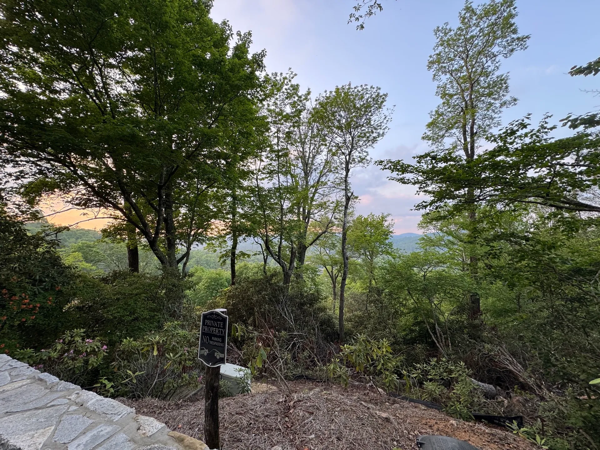
Just a stone’s throw from downtown Highlands, North Carolina, the Satulah Mountain Trail offers a rewarding hike to one of the most iconic vistas in the southern Blue Ridge Mountains. This moderately challenging route leads hikers to a rocky summit with sweeping views of Georgia, South Carolina, and North Carolina, making it a favorite for locals and visitors alike.
Trail Overview
-
Location: Satulah Mountain, Highlands, NC
-
Difficulty: Moderate (short, but includes steep sections)
-
Summit Elevation: ~4,543 feet
The hike climbs through a mix of hardwood forest and rhododendron tunnels before opening onto exposed granite outcrops at the summit. On a clear day, hikers are treated to long-range views over the southern Appalachians—including Whiteside Mountain and the Chattooga River watershed.
Best Time to Visit
-
Spring through fall offers the best hiking conditions
-
Fall foliage makes October especially scenic
-
Early morning or late afternoon for cooler temps and fewer crowds
Parking & Trail Access
-
Trail access begins at the intersection of Satulah Road and Holt Knob Road
-
Limited roadside parking available—arrive early during peak season
-
No public restroom facilities available
Permits & Fees
-
No permit required
-
No parking or entrance fees
Are Dogs Allowed?
-
Yes, dogs are permitted but must be leashed
-
Steep sections and rocky terrain—consider your dog’s fitness and footing
What to Bring
-
Water and a small snack (no facilities at the summit)
-
Sturdy footwear with good grip
-
A camera or phone for panoramic summit shots
-
Layers—weather can shift quickly in the mountains
-
Binoculars if you enjoy birdwatching or distant views
Whether you’re visiting for a morning workout or catching a sunset from the summit, the Satulah Mountain Trail is a must-hike gem in Highlands, offering high-elevation views with easy town access. It’s the perfect blend of nature, exercise, and scenic beauty.
Leave No Trace
