Details
Features
About this place
You get to experience a small chunk of the Pacific Coast Trail. Amazing views of Donner Lake. 5.5mi, 4-5 hours.
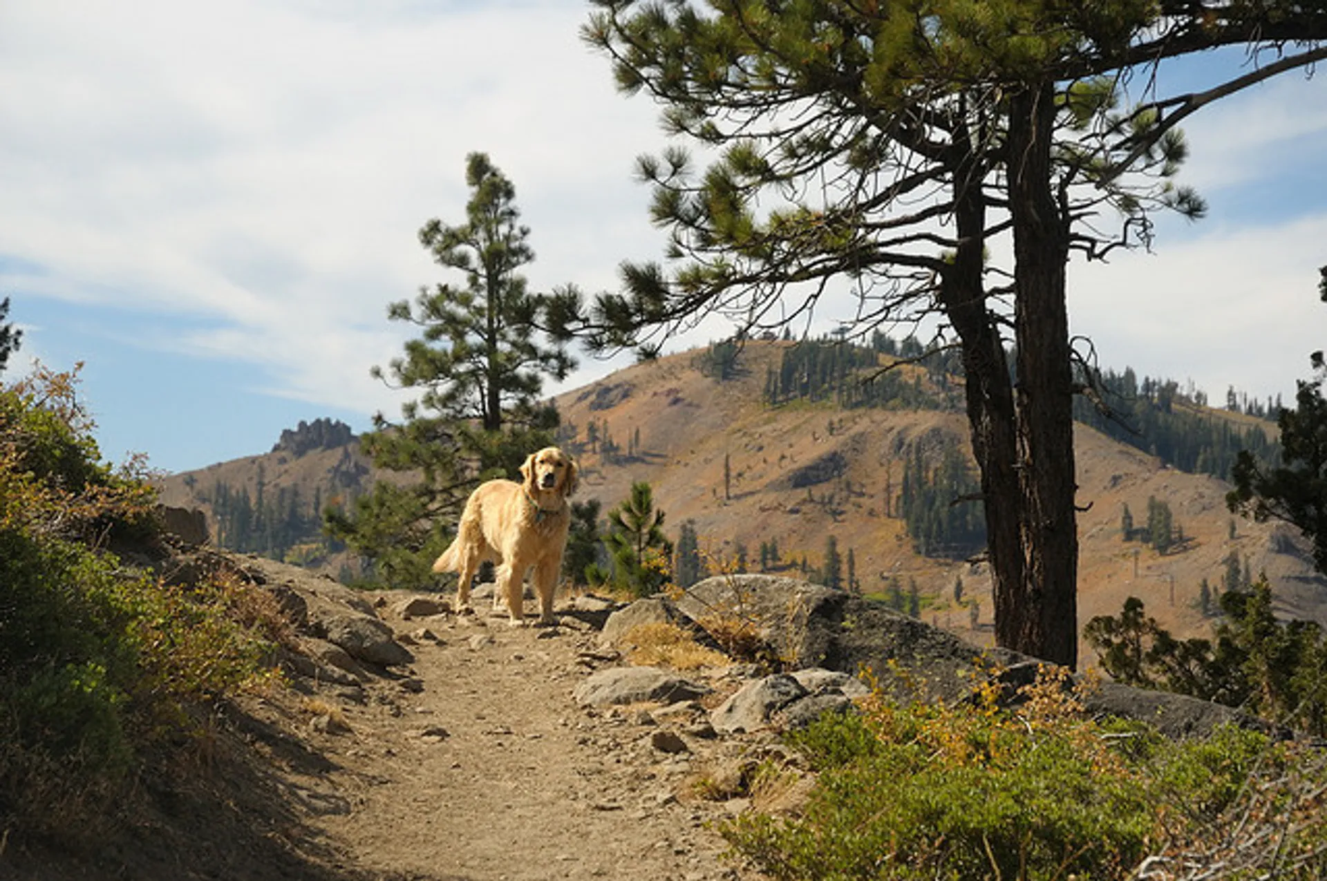
A wonderful hike in Lake Tahoe is the Mt. Judah Loop Trail that offers sweeping views of Donner Lake and the surrounding Sierra Nevada mountains on the North Shore. As a resident on the North Shore, many of my recreational activities favor this side of the Lake but there are marvelous hikes in every region surrounding the lake. The Mt. Judah Loop Trail veers off from the famed Pacific Crest Trail (PCT) that spans 2,663 mile along the West Coast from Canada all the way to Mexico. The trail is well marked, moderate in difficulty, 5.5 miles in length with an elevation gain of 1,700 ft. The trail loops around the summit of Mt. Judah, elevation 8,234ft, offering a 365-degree view of the region. Getting There: Exit highway 80 at the Soda Springs Exit and travel 4 miles along the former Highway 40 to Donner Pass. Drive past Sugar Bowl Ski Resort and turn right after a group of buildings. You will see a parking lot on your right with cars scattered, look for the Pacific Crest Trail sign at the far end along the road.
Leave No Trace

