Details
Features
About this place
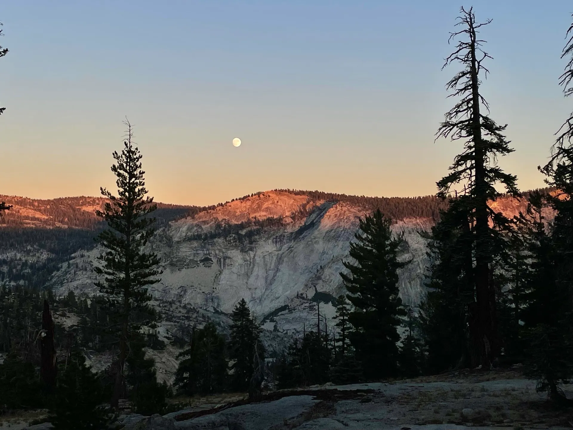
This is a moderate hike out to an overlook of Clouds Rest, Half Dome, and the east end of Yosemite Valley. There is some parking on both sides of the road about 1.5 miles west of Olmsted Point. One side is gravel with parking for ~6 vehicles and offers bear boxes for food while the other is a paved pull-out with room for additional vehicles or longer RVs.
The trail begins on the south side of the road, walk around the vehicle gate and down the access road about 20 yards and the hiking trail will branch off on the right. The trail has some rolling hills and alternates between climbs and drops. About halfway you'll have nice views of Clouds Rest and then the final stretch is exposed with 270 degree views. It is similar to North Dome but seems a bit less popular so there's fewer crowds and it's easier to snag a parking spot.